
Inspect+ - A Robust Drone Inspection Software
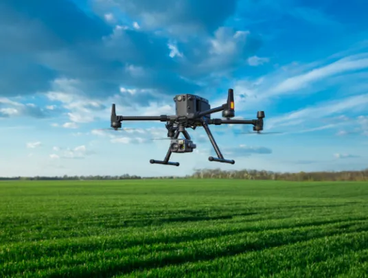
Inspect+ is an aerial inspection drone that ensures faster & safer operations with maximum ROI. Make the most of the data captured by the drones employed in the field with in-depth 3D maps and models.

Faster & Safer
Why let your team visit the site when you can have all the required information with the drone software for inspection? Inspect+ captures all the needed to help you make informed decisions while ...more

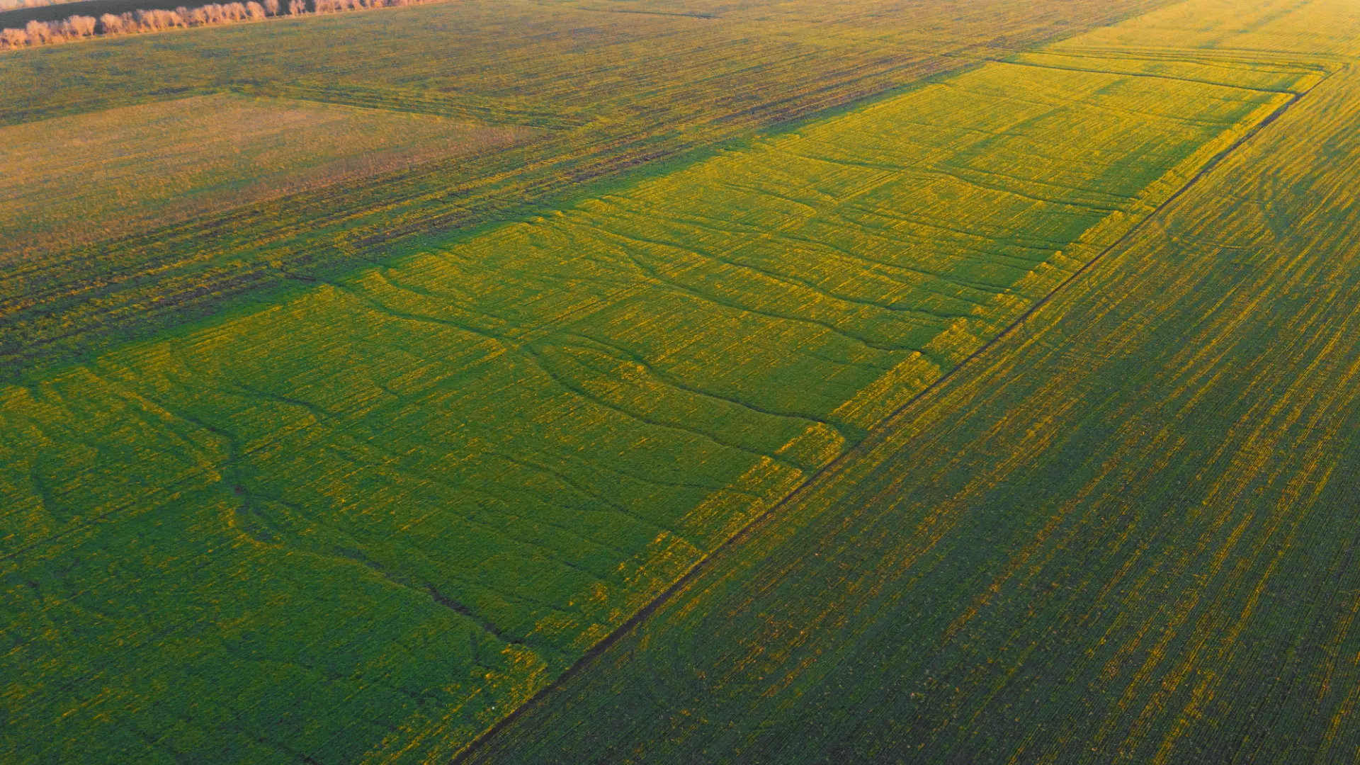
The Limitless Power of Photogrammetry
Drone-based inspection lets you easily create the 3D digital model of the site/project to be shared with the stakeholders. It enables you to receive accurate geo-referenced measurements; while ...more

Streamline the Visual Inspections
With smart inspection tools and features of Inspect+, you can speed up work, while reducing the number of images required for automatically extracting critical information.
This is dummy text for page alignment issue
Are you considering using drones for inspections? Get in touch with us today.
For each detailed drone-based inspection, you get:-

High definition videos

High-resolution pictures

Point cloud data

DSM, DTM, or DEM files
How Can Inspect+ Help You?
Inspections & Mapping
- The drones can reach the areas which are difficult to access manually and capture data.
- You can leverage Inspect+ for aerial property inspection, industrial drone inspection, and for several other purposes.
- Be it inspecting and mapping oil & infrastructure, power lines, cooling towers or cellular towers, it can do it all efficiently.
- Our mapping solution transforms the collected data into detailed information that enhances your decision-making process.
- The high-resolution images are translated into useful 2D maps and 3D models for a thorough inspection.

Confined Space Inspection
- Inspecting confined spaces is quite unsafe. Using drones for inspections of such places can help prevent hazardous and unexpected accidents.
- Inspect+ gives the required data in a meaningful manner for even a layperson to understand.
- Our drone inspection software also provides real-time access to the images being captured by the drones.
- The best part is that the data can be accessed from anywhere in the world in real-time. All you require is internet connectivity and a gadget to access it.
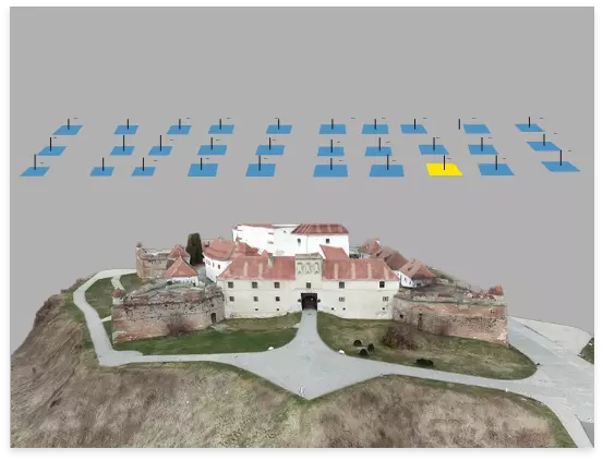
2D/3D Modeling
- Inspect+’s drone inspection services includes preparing 2D and 3D models from the detailed photos of the site captured by the drones.
- These models help in the geospatial inspection. You can even share these models with shareholders to make them aware of the site's progress.

Are you considering investing in the drone for agriculture, construction, or any other field? We can help you get customized drone solutions at competitive prices.
Dummy div
Social Media
Follow us on social media to find out the latest updates on our progress


