
Establish A Seamless Connection With Custom Drone Solutions Across Industries
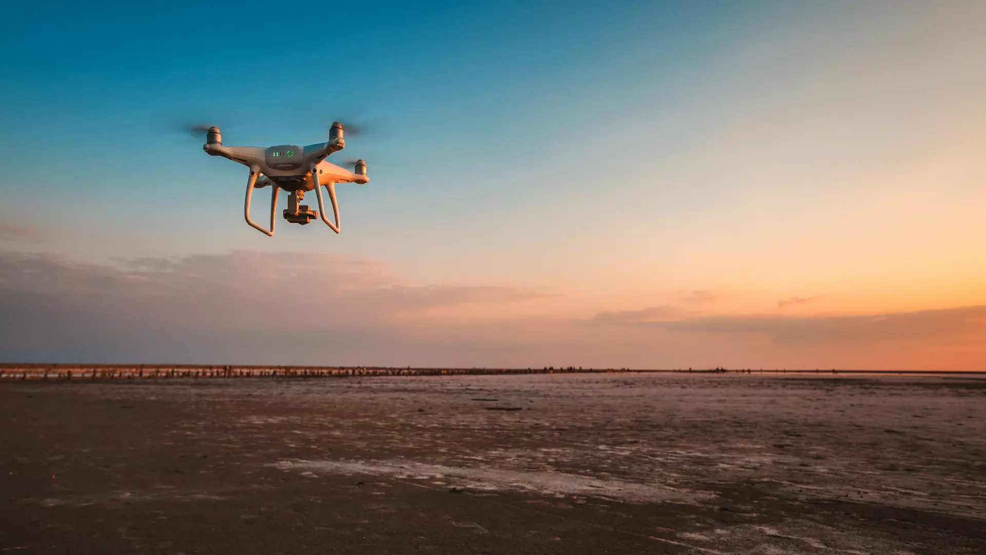
Fly Tag is a revolutionary drone operation mapping software that enables professionals to translate any real-world scenario into a digital asset. Well, this applies to every industry possible. Our remote control flying drone mapping software can be deployed in the following sectors:-

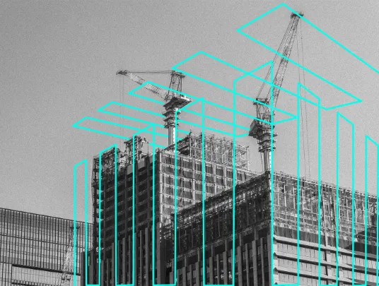
Construction
Collect, measure & analyze site data for making well-informed decisions with our drones in construction. Ensure increased project efficiency and safety of your workforce, ...more

Infrastructure
Our aerial drone ops make it easier to conduct a detailed inspection of different complex structures & assets. Be it drone surveying or drone inspection, our solutions do it all.

Energy
With our fly drone camera solutions, the energy and utility sector can inspect vertical structures & assets safely. With extensive optimization for the special lines, it ensures improving efficiency.

Public Safety
Our drone operation software helps the police and law enforcement department quickly obtain information about any crime or accident without visiting the site, Based on the visuals, big decisions can be made.

Agriculture
To ensure yields, you need detailed information on your field. This is what our agricultural drone does with precision. It is easy to integrate with your current field; no need to make any investment.

Curious to know more about our drone operations? Feel free to reach us.
What Makes Our Drone Solutions Different?
Unmatched User Efficiency
- Our drone mapping software is easy to use. Quickly import images while navigating the interface effortlessly.
- No technical knowledge is needed to convert the visuals collected into 2D maps and 3D models

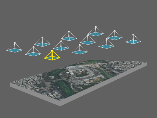
Real-Time Site Mapping
- Generate 2D maps of the selected area in real-time with our drone aerial mapping software.
- It enables your team to create a detailed path for the remote control flying drone.
- It proves a game-changer for missions where time is of the essence and decisions need to be made on-spot.
3D Models For In-Depth Analysis
- With our 3D mapping drone, you can create high-resolution 3d models of various sites and get the most accurate & detailed measurements.
- Be it recreating an accident site, complex vertical structures, construction projects, or creating thin power lines, it can be quite helpful.

Prepare Reports Quickly
- You can obtain the report of the visual data & information collected anytime using our drone operation mapping software.
- The reports are imperative for legal purposes and can be fetched in various formats as per your specific requirements.

Are you considering investing in the drone for agriculture, construction, or any other field? We can help you get customized drone solutions at competitive prices.
Dummy div
Social Media
Follow us on social media to find out the latest updates on our progress


