
Smart Drone Mapping Solutions For The Changing Landscape
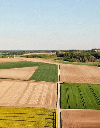
Kickstart smart precision farming with Fly & Tag’s agriculture software and drone solutions.
Power Your Assets Across Industries With Real-World Information

UAV Mapping: Photogrammetry, Inspections & 3D Models
UAV mapping provides you with a fast and efficient way of mapping and surveying large areas. It uses GPS to make it easier. Whether you want to map your construction site or excel fleet management, our drone mapping software with advanced UAV mapping functionalities can help.

Our surveying software lets you unlock the power of visual data, saving you time, efforts, money, and resources.
- Irrespective of the industry you’re in, Fly & Tag’s drone inspection software helps you gain a cutting-edge over the competition.
- It streamlines your workflow as well as business operations.
At Fly & Tag, we take pride in collaborating with clients across different industry verticals and help them drive success with our drone surveying solutions.
- We are committed to securing your data privacy and safety.
- Our technical experts have carefully designed the drone mapping app to comply with privacy and security measures. In case of any difficulties, we are just a call or email away.

Fly&Tag apps

Inspect+

Siteview

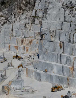
Mine mapper

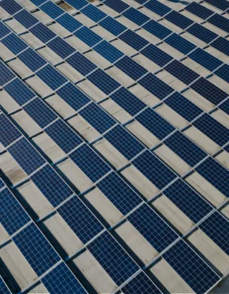
AG plus

Flytag OPS

Compliance
Why Go With Fly & Tag’s Drone Mapping Software?

Continuous Support
Our workforce provides thoughtful support to help you resolve any of your complex queries. You can rely on our tech team ...more

Broad Format Support
Access a wide range of practical analysis and data processing tools with our surveying software. Unlock the potential to ...more

Data Sharing
Simplify and streamline your ground control workflow. Share data with clients and other stakeholders who want to see the latest developments ...more

Data Creation & Editing Tools
Streamline the creation of professional imagery products with our drone mapping software, Get access to a complete suite of ...more

Terrain Analysis & 3D Data Processing
Get a better impression of the terrain with our 3D mapping drone. Leverage the benefits of contour generation, volume ...more

Vector & Raster Processing
Tap into the potential of vector and raster processing with Fly & Tag’s surveying software. Right from intuitive drawing to image vectorization ...more
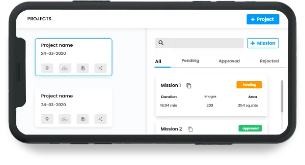
Operations simplified

Drone Management Software Development

Mission Critical Drone Software Development

Drone Mapping Software

Drone Photogrammetry Software

Real-Time Insights

Easy Accessibility

Drone Inspection Software

Process Data Faster
Blog-posts
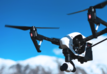
The Rise of Next-Gen Drones
Drones have established a significant presence in the commercial sectors and industries due to their applications in surveillance and inspections.
View More
Card title
Some quick example text to build on the card title and make up the bulk of the card's content.
Go somewhere
Card title
Some quick example text to build on the card title and make up the bulk of the card's content.
Go somewhere
The Rise of Next-Gen Drones
Drones have established a significant presence in the commercial sectors and industries due to their applications in surveillance and inspections.
View More
Card title
Some quick example text to build on the card title and make up the bulk of the card's content.
View More
Card title
Some quick example text to build on the card title and make up the bulk of the card's content.
Go somewhere
The Rise of Next-Gen Drones
Drones have established a significant presence in the commercial sectors and industries due to their applications in surveillance and inspections.
View More
Card title
Some quick example text to build on the card title and make up the bulk of the card's content.
Go somewhere
Card title
Some quick example text to build on the card title and make up the bulk of the card's content.
Go somewheresubmitted
Dummy div
Social Media
Follow us on social media to find out the latest updates on our progress


